Filenews 24 December 2025

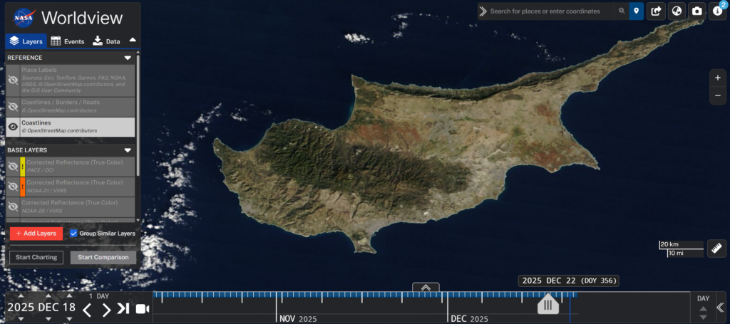
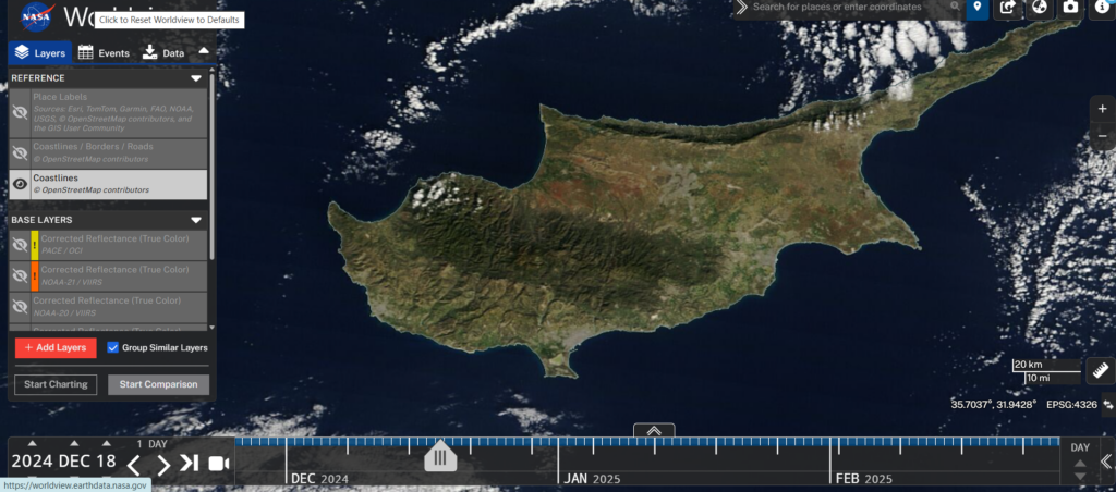
The prolonged drought observed in recent years in Cyprus is no longer only the subject of scientific measurements or findings, but is now visible even from space. NASA satellite images clearly record the widespread drought on agricultural and semi-natural areas of the island.
The reduced vegetation and the alteration of the natural ground cover is captured in satellite images, as you will see just one year apart. These changes confirm that Cyprus is facing one of the most severe periods of water stress in recent decades.
See the pictures:
First image, 18/12/2024
Second image, 18/12/2025